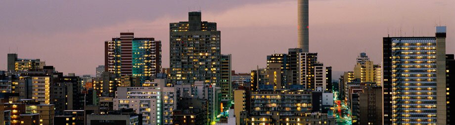
Welcome to Johannesburg
brought to you by SA-Venues.com
Jump to ...
How to
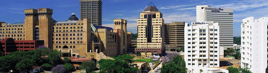
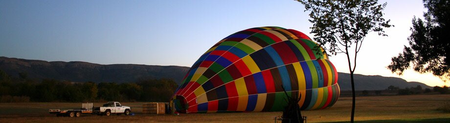
Tours of Johannesburg
- Pretoria to Cape Town by Rovos Rail
by Rovos Rail - 4 Day Kruger & Blyde River Canyon
by African Blue Tours - 3 day Kruger Lodge Safari
by African Blue Tours - Zebula Golf Estate & Spa
by SkyView Helicopter Charters - More \ Johannesburg Tours
Events in Johannesburg
 RMB WineX Wine Festival
When? Starts 25 October (TBC) Soweto Wine & Lifestyle Festival
When? Starts 03 March (TBC)- More \ Johannesburg Events
Things To Do in Johannesburg
 Fishing at Kingfishers
Price Range (pp)?
Price on request Geet Indian Restaurant
Price Range (pp)?
Price on request- More \ Johannesburg Things To Do
Attractions in Johannesburg


Deal direct and save!
Johannesburg-Venues.co.za offers you a fine selection of hotels in Johannesburg, from 5 star luxury hotels and lodges to smaller, less expensive boutique hotels to suit the more budget conscious traveller. All hotels represented on this site are registered and accredited accommodation providers.
Johannesburg-Venues.co.za offers you a fine selection of hotels in Johannesburg, from 5 star luxury hotels and lodges to smaller, less expensive boutique hotels to suit the more budget conscious traveller. All hotels represented on this site are registered and accredited accommodation providers.
Johannesburg-Venues.co.za by SA-Venues.com © 1. All Rights Reserved. Designed by Net-Focus Interactive. Site Map. Travel in South Africa.